The Clock house
Introduction
The photograph on this page of The Clock house by Oast House Archive as part of the Geograph project.
The Geograph project started in 2005 with the aim of publishing, organising and preserving representative images for every square kilometre of Great Britain, Ireland and the Isle of Man.

There are currently over 7.5m images from over 14,400 individuals and you can help contribute to the project by visiting https://www.geograph.org.uk
The Clock house
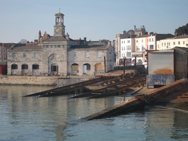
Image: © Oast House Archive Taken: 16 Oct 2011
Rear of the grade II* listed https://historicengland.org.uk/listing/the-list/list-entry/1336325 building at Harbour Parade. Seen from East Pier which along with the slipways seen to the right are grade II listed https://historicengland.org.uk/listing/the-list/list-entry/1086088
Images are licensed for reuse under creativecommons.org/licenses/by-sa/2.0
Image Location
Latitude
51.331435
Longitude
1.422313