Hockenhull Lane crossing A51
Introduction
The photograph on this page of Hockenhull Lane crossing A51 by David Smith as part of the Geograph project.
The Geograph project started in 2005 with the aim of publishing, organising and preserving representative images for every square kilometre of Great Britain, Ireland and the Isle of Man.

There are currently over 7.5m images from over 14,400 individuals and you can help contribute to the project by visiting https://www.geograph.org.uk
Hockenhull Lane crossing A51
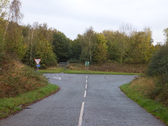
Image: © David Smith Taken: 20 Oct 2011
The lane continues as a footpath on the opposite side of the road, then broadens to become a surfaced road in the village of Tarvin
Images are licensed for reuse under creativecommons.org/licenses/by-sa/2.0
Image Location
Latitude
53.191204
Longitude
-2.770147