West Stewart Street underpass
Introduction
The photograph on this page of West Stewart Street underpass by Thomas Nugent as part of the Geograph project.
The Geograph project started in 2005 with the aim of publishing, organising and preserving representative images for every square kilometre of Great Britain, Ireland and the Isle of Man.

There are currently over 7.5m images from over 14,400 individuals and you can help contribute to the project by visiting https://www.geograph.org.uk
West Stewart Street underpass
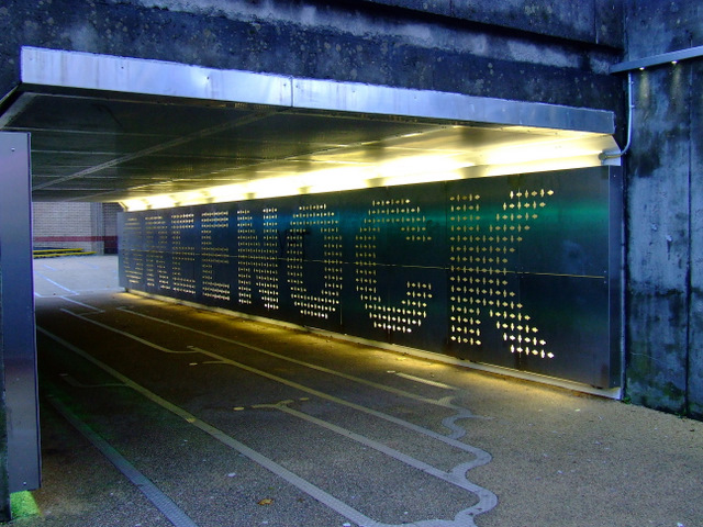
Image: © Thomas Nugent Taken: 23 Oct 2011
The underpass connects West Stewart Street and Kilblain Street to the Oak Mall. The ceramic wall tiles depicting local street scenes from the 1960s were removed and relocated nearby http://www.geograph.org.uk/snippet/6137 . The floor resembles a circuit board, perhaps an acknowledgement of the town's electronics history?
Images are licensed for reuse under creativecommons.org/licenses/by-sa/2.0
Image Location
Latitude
55.948731
Longitude
-4.761685