Driveway to Hill Farm
Introduction
The photograph on this page of Driveway to Hill Farm by Alan Murray-Rust as part of the Geograph project.
The Geograph project started in 2005 with the aim of publishing, organising and preserving representative images for every square kilometre of Great Britain, Ireland and the Isle of Man.

There are currently over 7.5m images from over 14,400 individuals and you can help contribute to the project by visiting https://www.geograph.org.uk
Driveway to Hill Farm
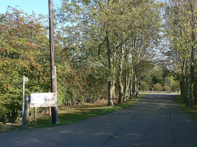
Image: © Alan Murray-Rust Taken: 20 Oct 2011
This has been planted to form an avenue. The drive also carries Stanton on the Wolds footpath No.7; the notice board on the left lists the temporary footpath closures associated with the A46 improvement works.
Images are licensed for reuse under creativecommons.org/licenses/by-sa/2.0
Image Location
Latitude
52.874126
Longitude
-1.052056