St Stephens Close
Introduction
The photograph on this page of St Stephens Close by Ian Capper as part of the Geograph project.
The Geograph project started in 2005 with the aim of publishing, organising and preserving representative images for every square kilometre of Great Britain, Ireland and the Isle of Man.

There are currently over 7.5m images from over 14,400 individuals and you can help contribute to the project by visiting https://www.geograph.org.uk
St Stephens Close
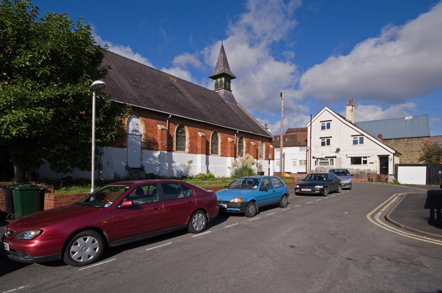
Image: © Ian Capper Taken: 16 Oct 2011
A cul de sac off Upper Galdeford. The former St Stephen's Church (now premises of a car parts company) and buildings beyond appear on an 1885 town plan of Ludlow, with appearance suggesting a mid-19th century building date.
Images are licensed for reuse under creativecommons.org/licenses/by-sa/2.0
Image Location
Latitude
52.368691
Longitude
-2.714222