The Codfather
Introduction
The photograph on this page of The Codfather by Ian Capper as part of the Geograph project.
The Geograph project started in 2005 with the aim of publishing, organising and preserving representative images for every square kilometre of Great Britain, Ireland and the Isle of Man.

There are currently over 7.5m images from over 14,400 individuals and you can help contribute to the project by visiting https://www.geograph.org.uk
The Codfather
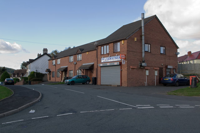
Image: © Ian Capper Taken: 16 Oct 2011
Fish and Chip shop on Rock Terrace. Old maps show this to be on the route of Rock Lane, a track leading from Lower Galdeford to Rock Farm, much of which has now been developed with 1960s council housing and only the lower part of which has retained the original name. An older cottage can be seen in the background.
Images are licensed for reuse under creativecommons.org/licenses/by-sa/2.0
Image Location
Latitude
52.369382
Longitude
-2.706962