Norwood Junction
Introduction
The photograph on this page of Norwood Junction by Marathon as part of the Geograph project.
The Geograph project started in 2005 with the aim of publishing, organising and preserving representative images for every square kilometre of Great Britain, Ireland and the Isle of Man.

There are currently over 7.5m images from over 14,400 individuals and you can help contribute to the project by visiting https://www.geograph.org.uk
Norwood Junction
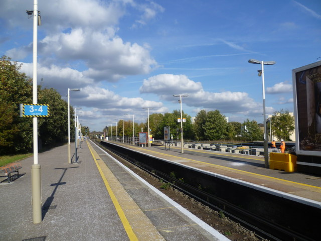
Image: © Marathon Taken: 21 Oct 2011
Until 1836 this was the line of the Croydon Canal before it sold out to the London & Croydon Railway Company. The first trains here were run by the London & Croydon Railway from London Bridge to West Croydon in 1839. Trains to Brighton first ran here in 1841. This view looks northwards towards London Bridge. In 1839 the London & Croydon Railway opened a station listed as "Jolly-sailor near Beulah Spa" on fares lists and timetables. In 1846 the London & Croydon Railway merged with the London & Brighton Railway to form the London Brighton & South Coast Railway, and the station was renamed "Norwood" in the same year, and became "Norwood Junction" by 1856. The original station was closed on 1st June 1859 and replaced by the current station on the south side of South Norwood Hill. The station is now used by Southern and London Overground services.
Images are licensed for reuse under creativecommons.org/licenses/by-sa/2.0
Image Location
Latitude
51.397892
Longitude
-0.073747