Wantisden Hall Farms? irrigation lake
Introduction
The photograph on this page of Wantisden Hall Farms? irrigation lake by Roger Jones as part of the Geograph project.
The Geograph project started in 2005 with the aim of publishing, organising and preserving representative images for every square kilometre of Great Britain, Ireland and the Isle of Man.

There are currently over 7.5m images from over 14,400 individuals and you can help contribute to the project by visiting https://www.geograph.org.uk
Wantisden Hall Farms? irrigation lake
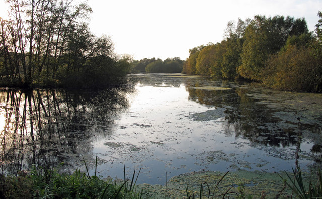
Image: © Roger Jones Taken: 23 Oct 2011
This excavated spring-fed lake is part of Wantisden Hall Farms’ irrigation system. See also Image]
Images are licensed for reuse under creativecommons.org/licenses/by-sa/2.0
Image Location
Latitude
52.110886
Longitude
1.442293