Bridleway off Stanton Road
Introduction
The photograph on this page of Bridleway off Stanton Road by Ian Capper as part of the Geograph project.
The Geograph project started in 2005 with the aim of publishing, organising and preserving representative images for every square kilometre of Great Britain, Ireland and the Isle of Man.

There are currently over 7.5m images from over 14,400 individuals and you can help contribute to the project by visiting https://www.geograph.org.uk
Bridleway off Stanton Road
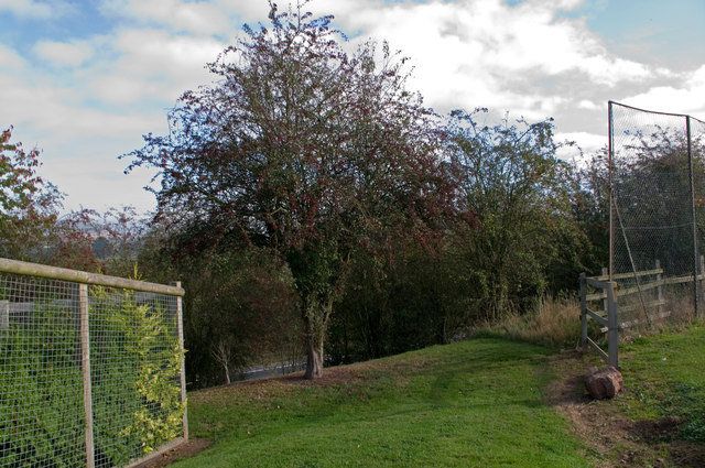
Image: © Ian Capper Taken: 16 Oct 2011
Shown on modern maps as a short stub, as a continuation of the bridleway connecting Lacy Road and Stanton Road (see Image), old maps show this as an old track, Dodmore Lane. However, it was truncated by the building of the Ludlow bypass in 1979 (just visible at the foot of the bank), and somewhat unusually no provision was made to cross the new road, despite presumably being a public right of way.
Images are licensed for reuse under creativecommons.org/licenses/by-sa/2.0
Image Location
Latitude
52.377944
Longitude
-2.70776