Bridleway across Surrey National Golf Club
Introduction
The photograph on this page of Bridleway across Surrey National Golf Club by Derek Harper as part of the Geograph project.
The Geograph project started in 2005 with the aim of publishing, organising and preserving representative images for every square kilometre of Great Britain, Ireland and the Isle of Man.

There are currently over 7.5m images from over 14,400 individuals and you can help contribute to the project by visiting https://www.geograph.org.uk
Bridleway across Surrey National Golf Club
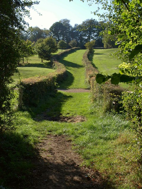
Image: © Derek Harper Taken: 15 Oct 2011
Running along a wide grassy track between hedges, bridleway 77 crosses the western of the two valleys occupied by the golf course.
Images are licensed for reuse under creativecommons.org/licenses/by-sa/2.0
Image Location
Latitude
51.285483
Longitude
-0.112442