Kings Head
Introduction
The photograph on this page of Kings Head by Nigel Mykura as part of the Geograph project.
The Geograph project started in 2005 with the aim of publishing, organising and preserving representative images for every square kilometre of Great Britain, Ireland and the Isle of Man.

There are currently over 7.5m images from over 14,400 individuals and you can help contribute to the project by visiting https://www.geograph.org.uk
Kings Head
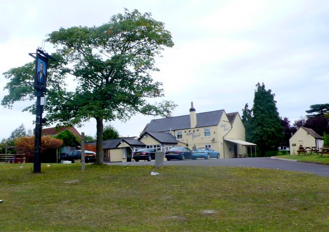
Image: © Nigel Mykura Taken: 28 Aug 2011
A substantial pub at Norton well placed at the side of the A38 to get passing trade on one of the main roads in and out of Gloucester.
Images are licensed for reuse under creativecommons.org/licenses/by-sa/2.0
Image Location
Latitude
51.915784
Longitude
-2.207859