Playing fields and recreation ground, with view over Mansfield
Introduction
The photograph on this page of Playing fields and recreation ground, with view over Mansfield by Antony Dixon as part of the Geograph project.
The Geograph project started in 2005 with the aim of publishing, organising and preserving representative images for every square kilometre of Great Britain, Ireland and the Isle of Man.

There are currently over 7.5m images from over 14,400 individuals and you can help contribute to the project by visiting https://www.geograph.org.uk
Playing fields and recreation ground, with view over Mansfield
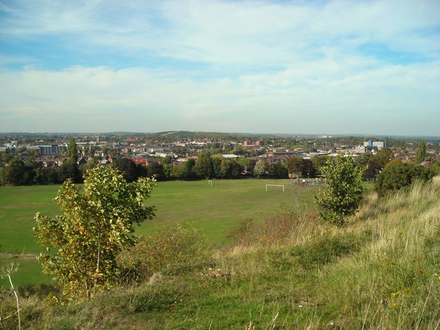
Image: © Antony Dixon Taken: 27 Sep 2011
Playing fields and recreation ground off Berry Hill Road and Forest Road seen from the bank on the western side of Berry Hill Road, with view over Mansfield towards the landscaped former Sherwood Colliery spoil heap.
Images are licensed for reuse under creativecommons.org/licenses/by-sa/2.0
Image Location
Latitude
53.135826
Longitude
-1.188013