The Broad Comps
Introduction
The photograph on this page of The Broad Comps by Simon Carey as part of the Geograph project.
The Geograph project started in 2005 with the aim of publishing, organising and preserving representative images for every square kilometre of Great Britain, Ireland and the Isle of Man.

There are currently over 7.5m images from over 14,400 individuals and you can help contribute to the project by visiting https://www.geograph.org.uk
The Broad Comps
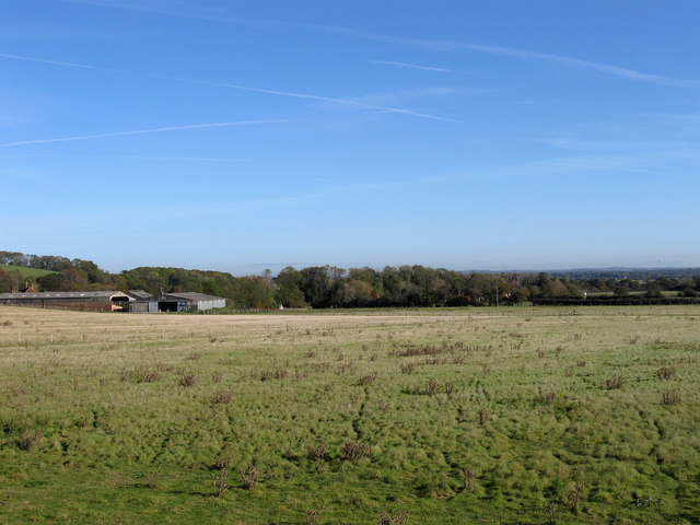
Image: © Simon Carey Taken: 20 Oct 2011
The name of the field according to Glynde's 1839 tithe map that also includes smaller entities; Court Pit and Breeches Field which lay to the left and right of the modern barns respectively. The field belongs to Glyndebourne Farm which often has herds of alpacas in them accompanied by the odd llama and occasional camel.
Images are licensed for reuse under creativecommons.org/licenses/by-sa/2.0
Image Location
Latitude
50.870816
Longitude
0.067608