A606 at Stanton-on-the-Wolds
Introduction
The photograph on this page of A606 at Stanton-on-the-Wolds by Alan Murray-Rust as part of the Geograph project.
The Geograph project started in 2005 with the aim of publishing, organising and preserving representative images for every square kilometre of Great Britain, Ireland and the Isle of Man.

There are currently over 7.5m images from over 14,400 individuals and you can help contribute to the project by visiting https://www.geograph.org.uk
A606 at Stanton-on-the-Wolds
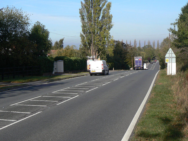
Image: © Alan Murray-Rust Taken: 20 Oct 2011
The greenery on the left conceals the extent of residential development; this is basically inter-war ribbon development, but consists of larger detached properties than is normally associated with this phenomenon. It would have been for the wealthier citizens of Nottingham who could afford to commute with their new motor cars.
Images are licensed for reuse under creativecommons.org/licenses/by-sa/2.0
Image Location
Latitude
52.871684
Longitude
-1.050178