Footbridge over Dighty water
Introduction
The photograph on this page of Footbridge over Dighty water by Graeme Yuill as part of the Geograph project.
The Geograph project started in 2005 with the aim of publishing, organising and preserving representative images for every square kilometre of Great Britain, Ireland and the Isle of Man.

There are currently over 7.5m images from over 14,400 individuals and you can help contribute to the project by visiting https://www.geograph.org.uk
Footbridge over Dighty water
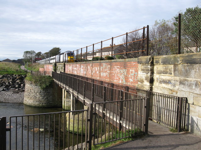
Image: © Graeme Yuill Taken: 20 Oct 2011
The footbridge carries the National Cycle Network route 1 over the Dighty Water. Note the northbound HST about to cross the railway bridge.
Images are licensed for reuse under creativecommons.org/licenses/by-sa/2.0
Image Location
Latitude
56.474955
Longitude
-2.836968