Former pub on Penge Road
Introduction
The photograph on this page of Former pub on Penge Road by David Anstiss as part of the Geograph project.
The Geograph project started in 2005 with the aim of publishing, organising and preserving representative images for every square kilometre of Great Britain, Ireland and the Isle of Man.

There are currently over 7.5m images from over 14,400 individuals and you can help contribute to the project by visiting https://www.geograph.org.uk
Former pub on Penge Road
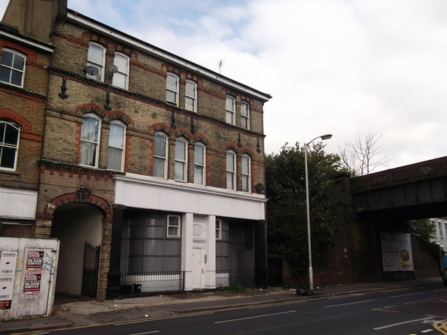
Image: © David Anstiss Taken: 16 Oct 2011
This building on the A213 Penge Road, seems to have been a pub or a retail unit. Now converted to housing. It is beside the railway between Crystal Palace and Birkbeck.
Images are licensed for reuse under creativecommons.org/licenses/by-sa/2.0
Image Location
Latitude
51.40357
Longitude
-0.069052