Wray Common Windmill
Introduction
The photograph on this page of Wray Common Windmill by Derek Harper as part of the Geograph project.
The Geograph project started in 2005 with the aim of publishing, organising and preserving representative images for every square kilometre of Great Britain, Ireland and the Isle of Man.

There are currently over 7.5m images from over 14,400 individuals and you can help contribute to the project by visiting https://www.geograph.org.uk
Wray Common Windmill
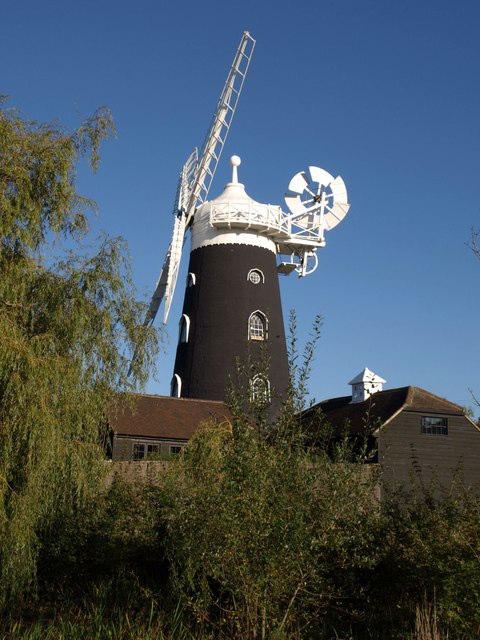
Image: © Derek Harper Taken: 15 Oct 2011
This view of the windmill shown in http://www.geograph.org.uk/search.php?i=25802792 is across a small pond on the common. The windmill is described at http://www.britishlistedbuildings.co.uk/en-289262-wray-common-windmill-66-reigate .
Images are licensed for reuse under creativecommons.org/licenses/by-sa/2.0
Image Location


Leaflet Map data © OpenStreetMap
Latitude
51.2447
Longitude
-0.183459