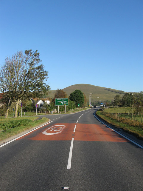
The A26
Introduction
The photograph on this page of The A26 by Simon Carey as part of the Geograph project.
The Geograph project started in 2005 with the aim of publishing, organising and preserving representative images for every square kilometre of Great Britain, Ireland and the Isle of Man.
There are currently over 7.5m images from over 14,400 individuals and you can help contribute to the project by visiting https://www.geograph.org.uk

Image: © Simon Carey Taken: 15 Oct 2011
The road was straightened some time ago with the lane to the left being the old route that ran between the church and the old School, the white building just visible through the foliage. The road was upgraded from the B2109 to the A26 during the 1970s as part of the construction of the Lewes By-Pass and designed to take heavy lorries going to and from the port of Newhaven away from the narrow streets of the town. Mount Caburn provides the backdrop.

