Rhyd-y-gof-isaf
Introduction
The photograph on this page of Rhyd-y-gof-isaf by Stuart Logan as part of the Geograph project.
The Geograph project started in 2005 with the aim of publishing, organising and preserving representative images for every square kilometre of Great Britain, Ireland and the Isle of Man.

There are currently over 7.5m images from over 14,400 individuals and you can help contribute to the project by visiting https://www.geograph.org.uk
Rhyd-y-gof-isaf
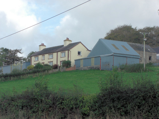
Image: © Stuart Logan Taken: 6 Oct 2011
This farm is perched on the shoulder of the hill above the A482 and the Nant Creuddyn Valley.
Images are licensed for reuse under creativecommons.org/licenses/by-sa/2.0
Image Location
Latitude
52.148692
Longitude
-4.112462