Tedder Road, Stafford
Introduction
The photograph on this page of Tedder Road, Stafford by Stephen Pearce as part of the Geograph project.
The Geograph project started in 2005 with the aim of publishing, organising and preserving representative images for every square kilometre of Great Britain, Ireland and the Isle of Man.

There are currently over 7.5m images from over 14,400 individuals and you can help contribute to the project by visiting https://www.geograph.org.uk
Tedder Road, Stafford
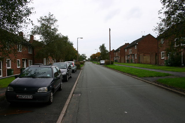
Image: © Stephen Pearce Taken: 23 Oct 2006
Tedder Road in Stafford. The housing used to be for RAF personnel and much of this road still is for military staff although a lot of the housing has gone over to health service workers or private/rented.
Images are licensed for reuse under creativecommons.org/licenses/by-sa/2.0
Image Location
Latitude
52.81521
Longitude
-2.098921