Looking up Windmill Road (B452)
Introduction
The photograph on this page of Looking up Windmill Road (B452) by Eirian Evans as part of the Geograph project.
The Geograph project started in 2005 with the aim of publishing, organising and preserving representative images for every square kilometre of Great Britain, Ireland and the Isle of Man.

There are currently over 7.5m images from over 14,400 individuals and you can help contribute to the project by visiting https://www.geograph.org.uk
Looking up Windmill Road (B452)
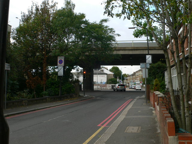
Image: © Eirian Evans Taken: 12 Oct 2011
The bridge ahead carries the M4, which runs parallel with, but above, the A4 Great West Road.
Images are licensed for reuse under creativecommons.org/licenses/by-sa/2.0
Image Location
Latitude
51.489829
Longitude
-0.30899