Haydon Bridge bypass
Introduction
The photograph on this page of Haydon Bridge bypass by M J Richardson as part of the Geograph project.
The Geograph project started in 2005 with the aim of publishing, organising and preserving representative images for every square kilometre of Great Britain, Ireland and the Isle of Man.

There are currently over 7.5m images from over 14,400 individuals and you can help contribute to the project by visiting https://www.geograph.org.uk
Haydon Bridge bypass
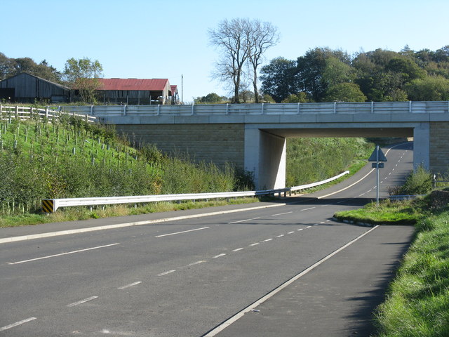
Image: © M J Richardson Taken: 15 Oct 2011
The A69 passing south of the village - for pictures of the bridge construction 4 years earlier see Image and Image
Images are licensed for reuse under creativecommons.org/licenses/by-sa/2.0
Image Location
Latitude
54.968934
Longitude
-2.244894