Orb Drive, Newport
Introduction
The photograph on this page of Orb Drive, Newport by Jaggery as part of the Geograph project.
The Geograph project started in 2005 with the aim of publishing, organising and preserving representative images for every square kilometre of Great Britain, Ireland and the Isle of Man.

There are currently over 7.5m images from over 14,400 individuals and you can help contribute to the project by visiting https://www.geograph.org.uk
Orb Drive, Newport
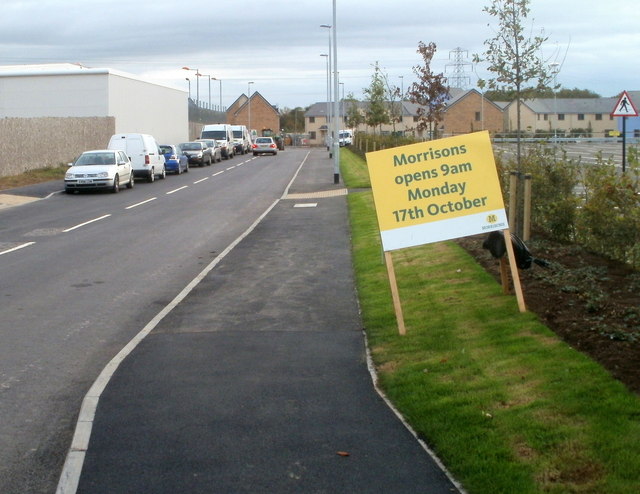
Image: © Jaggery Taken: 17 Oct 2011
Viewed from the Corporation Road end. Orb Drive is the newly-named road between a B&Q superstore http://www.geograph.org.uk/photo/1621542 on the left, and a Morrisons store http://www.geograph.org.uk/photo/2651729 on the right. This view was taken 15 minutes before the 9am official opening of the new Morrisons on Monday October 17th 2011.
Images are licensed for reuse under creativecommons.org/licenses/by-sa/2.0
Image Location
Latitude
51.576976
Longitude
-2.966804