Path from the Stockley Trail to the fishing lake and Carr Vale
Introduction
The photograph on this page of Path from the Stockley Trail to the fishing lake and Carr Vale by Andrew Hill as part of the Geograph project.
The Geograph project started in 2005 with the aim of publishing, organising and preserving representative images for every square kilometre of Great Britain, Ireland and the Isle of Man.

There are currently over 7.5m images from over 14,400 individuals and you can help contribute to the project by visiting https://www.geograph.org.uk
Path from the Stockley Trail to the fishing lake and Carr Vale
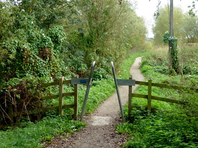
Image: © Andrew Hill Taken: 17 Oct 2011
By the end of summer, bindweed has scrambled over most of the other vegetation creating an especially green and overgrown look.
Images are licensed for reuse under creativecommons.org/licenses/by-sa/2.0
Image Location
Latitude
53.221905
Longitude
-1.310551