Listullyard fort near Banbridge
Introduction
The photograph on this page of Listullyard fort near Banbridge by Albert Bridge as part of the Geograph project.
The Geograph project started in 2005 with the aim of publishing, organising and preserving representative images for every square kilometre of Great Britain, Ireland and the Isle of Man.

There are currently over 7.5m images from over 14,400 individuals and you can help contribute to the project by visiting https://www.geograph.org.uk
Listullyard fort near Banbridge
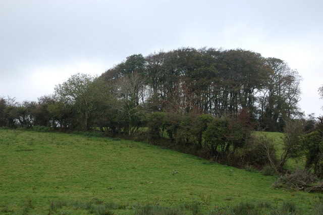
Image: © Albert Bridge Taken: 22 Oct 2006
Listullyard fort is a rath - for an explanation see Image There is a view from the fort as far as Lough Neagh. It was always known locally as “Lisleyard Forth”. This pronunciation is acknowledged in “Place-Names of Northern Ireland – County Down IV”. Continue to Image
Images are licensed for reuse under creativecommons.org/licenses/by-sa/2.0
Image Location
Latitude
54.355216
Longitude
-6.301151