Flush Bracket OS marker
Introduction
The photograph on this page of Flush Bracket OS marker by Liz Gray as part of the Geograph project.
The Geograph project started in 2005 with the aim of publishing, organising and preserving representative images for every square kilometre of Great Britain, Ireland and the Isle of Man.

There are currently over 7.5m images from over 14,400 individuals and you can help contribute to the project by visiting https://www.geograph.org.uk
Flush Bracket OS marker
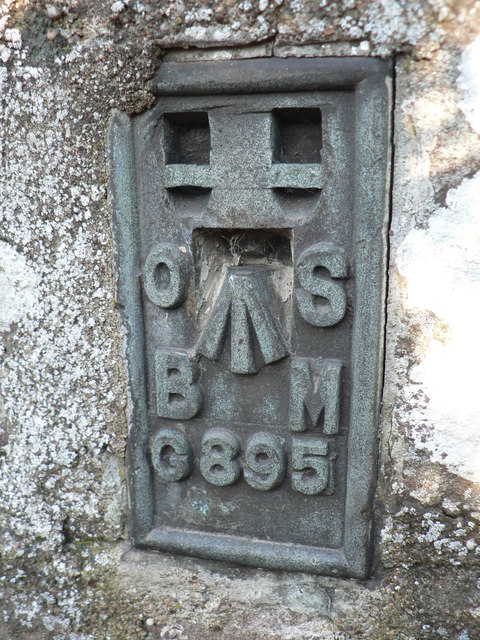
Image: © Liz Gray Taken: 16 Oct 2011
This flush bracket was used during the Second geodetic levelling,and was levelled with a height of 216.2030 feet This bracket is facing away from the road over the arco barrier not easy to find Flush Bracket # 39
Images are licensed for reuse under creativecommons.org/licenses/by-sa/2.0
Image Location
Latitude
56.950292
Longitude
-2.22569