Hartshead Pike
Introduction
The photograph on this page of Hartshead Pike by David Dixon as part of the Geograph project.
The Geograph project started in 2005 with the aim of publishing, organising and preserving representative images for every square kilometre of Great Britain, Ireland and the Isle of Man.

There are currently over 7.5m images from over 14,400 individuals and you can help contribute to the project by visiting https://www.geograph.org.uk
Hartshead Pike
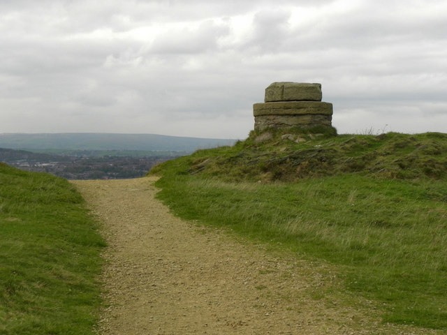
Image: © David Dixon Taken: 13 Oct 2011
Although the name "Hartshead Pike" is widely associated with the monument, it was originally the name of the hill itself. Although not the highest point on the hill, the Pike’s prominent position, 940 feet above sea level, has meant that, from early times, it has been the site of a beacon or signalling station. It is highly probable that the druids worshipped at Hartshead Pike during the Iron Age, and sacrifices may have been held to appease their gods. The earliest structure on this spot may have been a stone pillar, erected to commemorate the passing through the area of King Canute, who is also remembered in the names of Knott Hill and Knott Lanes. A tower had been built on the hill by the eighteenth century and was re-built in 1751 by a public subscription (Image]). However, it was badly damaged by lightning and a hundred years later, all that remained was this ring of stone standing just to the north of the present tower (Image]). http://www.ashton-under-lyne.com/history/hartshead.htm -Ashton Under Lyne.com http://en.wikipedia.org/wiki/Hartshead_Pike - Wikipedia http://www.tameside.gov.uk/countryside/access/hartshead -Tameside MBC
Images are licensed for reuse under creativecommons.org/licenses/by-sa/2.0
Image Location
Latitude
53.518797
Longitude
-2.061194