View From Hartshead Pike
Introduction
The photograph on this page of View From Hartshead Pike by David Dixon as part of the Geograph project.
The Geograph project started in 2005 with the aim of publishing, organising and preserving representative images for every square kilometre of Great Britain, Ireland and the Isle of Man.

There are currently over 7.5m images from over 14,400 individuals and you can help contribute to the project by visiting https://www.geograph.org.uk
View From Hartshead Pike
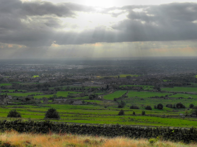
Image: © David Dixon Taken: 13 Oct 2011
It is said (http://www.tameside.gov.uk/countryside/access/hartshead ) that on a clear day, four counties can be seen from Hartshead Pike, as well as landmarks such as Jodrell Bank, the Welsh hills and the Holme Moss transmitter mast. This was not such a clear day. Looking towards Ashton and Manchester.
Images are licensed for reuse under creativecommons.org/licenses/by-sa/2.0
Image Location
Latitude
53.517898
Longitude
-2.061645