Industrial area near West Norwood Station, from the train
Introduction
The photograph on this page of Industrial area near West Norwood Station, from the train by Christopher Hilton as part of the Geograph project.
The Geograph project started in 2005 with the aim of publishing, organising and preserving representative images for every square kilometre of Great Britain, Ireland and the Isle of Man.

There are currently over 7.5m images from over 14,400 individuals and you can help contribute to the project by visiting https://www.geograph.org.uk
Industrial area near West Norwood Station, from the train
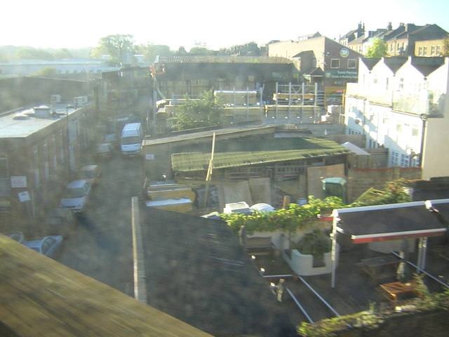
Image: © Christopher Hilton Taken: 15 Oct 2011
This area of builders' supply yards, light industry and mechanics' shops lies in a dip just to the east of (and parallel to) Norwood High Street, running south from the railway. The dip probably represents the old course of the Effra, one of London's lost rivers. In the foreground, the beer garden of a pub on Norwood High Street
Images are licensed for reuse under creativecommons.org/licenses/by-sa/2.0
Image Location
Latitude
51.430077
Longitude
-0.100734