Former railway trackbed near Clydach
Introduction
The photograph on this page of Former railway trackbed near Clydach by Gareth James as part of the Geograph project.
The Geograph project started in 2005 with the aim of publishing, organising and preserving representative images for every square kilometre of Great Britain, Ireland and the Isle of Man.

There are currently over 7.5m images from over 14,400 individuals and you can help contribute to the project by visiting https://www.geograph.org.uk
Former railway trackbed near Clydach
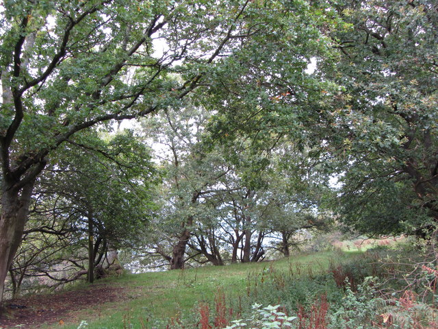
Image: © Gareth James Taken: 15 Oct 2011
National Cycle Network Route 46 doesn't (yet?) follow this section of the former Merthyr, Tredegar and Abergavenny Railway.
Images are licensed for reuse under creativecommons.org/licenses/by-sa/2.0
Image Location
Latitude
51.816237
Longitude
-3.109592