Hilltop houses in Palterton
Introduction
The photograph on this page of Hilltop houses in Palterton by Andrew Hill as part of the Geograph project.
The Geograph project started in 2005 with the aim of publishing, organising and preserving representative images for every square kilometre of Great Britain, Ireland and the Isle of Man.

There are currently over 7.5m images from over 14,400 individuals and you can help contribute to the project by visiting https://www.geograph.org.uk
Hilltop houses in Palterton
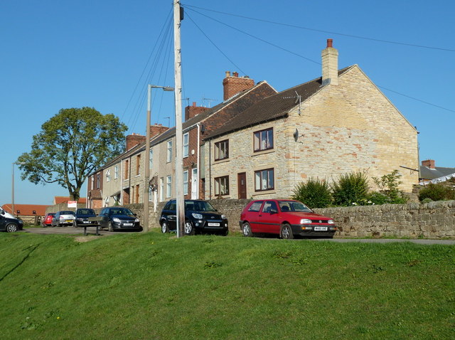
Image: © Andrew Hill Taken: 15 Oct 2011
At the north end of the Main Street, with extensive views west over the Doe Lea valley towards the Peak District.
Images are licensed for reuse under creativecommons.org/licenses/by-sa/2.0
Image Location
Latitude
53.212082
Longitude
-1.291092