A172, Swainby
Introduction
The photograph on this page of A172, Swainby by Robin Webster as part of the Geograph project.
The Geograph project started in 2005 with the aim of publishing, organising and preserving representative images for every square kilometre of Great Britain, Ireland and the Isle of Man.

There are currently over 7.5m images from over 14,400 individuals and you can help contribute to the project by visiting https://www.geograph.org.uk
A172, Swainby
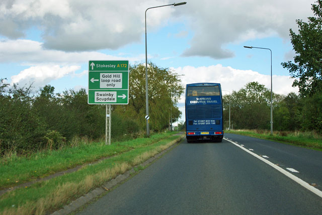
Image: © Robin Webster Taken: 7 Oct 2011
The loop road seems to be the course of a lane that the A172 replaced.
Images are licensed for reuse under creativecommons.org/licenses/by-sa/2.0
Image Location
Latitude
54.414025
Longitude
-1.268982