Hill of Chryston
Introduction
The photograph on this page of Hill of Chryston by Richard Webb as part of the Geograph project.
The Geograph project started in 2005 with the aim of publishing, organising and preserving representative images for every square kilometre of Great Britain, Ireland and the Isle of Man.

There are currently over 7.5m images from over 14,400 individuals and you can help contribute to the project by visiting https://www.geograph.org.uk
Hill of Chryston
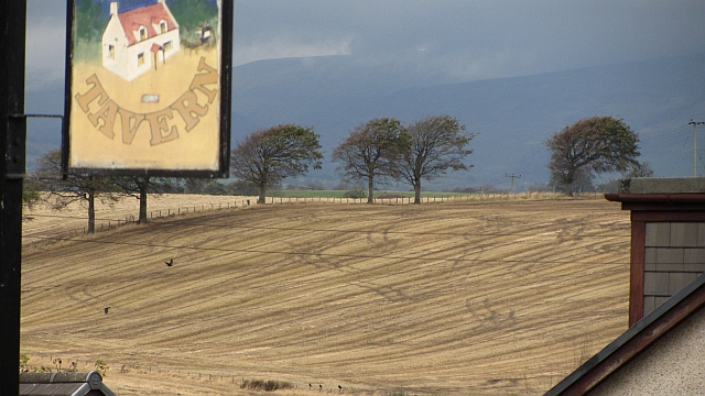
Image: © Richard Webb Taken: 14 Oct 2011
Stubble and tyre marks beyond the sign for the now closed Tavern Image Further away, the inevitable rain moves in over the Campsie Fells.
Images are licensed for reuse under creativecommons.org/licenses/by-sa/2.0
Image Location
Latitude
55.909971
Longitude
-4.10846