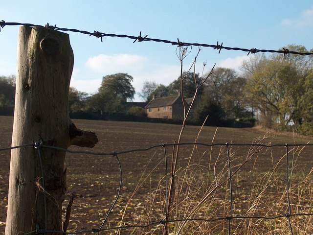
View towards Unthank Hall Farm from the public footpath
Introduction
The photograph on this page of View towards Unthank Hall Farm from the public footpath by Neil Theasby as part of the Geograph project.
The Geograph project started in 2005 with the aim of publishing, organising and preserving representative images for every square kilometre of Great Britain, Ireland and the Isle of Man.
There are currently over 7.5m images from over 14,400 individuals and you can help contribute to the project by visiting https://www.geograph.org.uk

Image: © Neil Theasby Taken: 14 Oct 2011
Bizarrely and annoyingly this submission caused me to exchange "words" with a local farmer and his wife who challenged me about taking photographs in their rural haven. I reminded them that we live in a free country, insisted that I was not a potential burglar and that I would continue to take pictures in the countryside without breaking any laws. They were not happy. Perhaps "Unthank" is the ideal name for this ancient hamlet.

