Benchmark on south buttress of the Primary School
Introduction
The photograph on this page of Benchmark on south buttress of the Primary School by Roger Templeman as part of the Geograph project.
The Geograph project started in 2005 with the aim of publishing, organising and preserving representative images for every square kilometre of Great Britain, Ireland and the Isle of Man.

There are currently over 7.5m images from over 14,400 individuals and you can help contribute to the project by visiting https://www.geograph.org.uk
Benchmark on south buttress of the Primary School
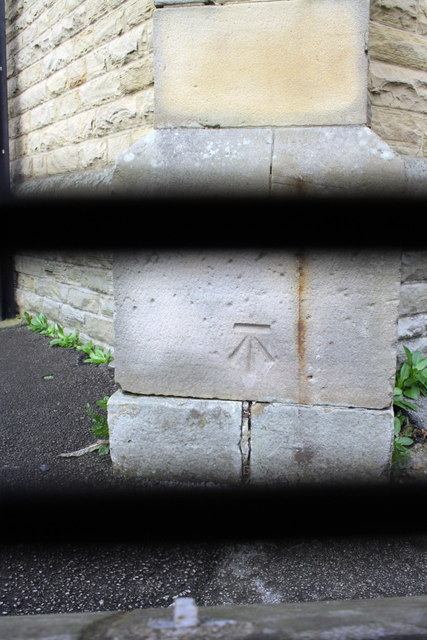
Image: © Roger Templeman Taken: 13 Oct 2011
The school premises Image were locked so photograph taken through its perimeter fence which explains the black bars. The Ordnance Survey cut mark benchmark is described on the Bench Mark Database at http://www.bench-marks.org.uk/bm39788
Images are licensed for reuse under creativecommons.org/licenses/by-sa/2.0
Image Location
Latitude
53.27385
Longitude
-1.373747