Wardpark South Industrial Estate
Introduction
The photograph on this page of Wardpark South Industrial Estate by Richard Webb as part of the Geograph project.
The Geograph project started in 2005 with the aim of publishing, organising and preserving representative images for every square kilometre of Great Britain, Ireland and the Isle of Man.

There are currently over 7.5m images from over 14,400 individuals and you can help contribute to the project by visiting https://www.geograph.org.uk
Wardpark South Industrial Estate
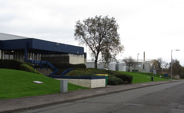
Image: © Richard Webb Taken: 14 Oct 2011
Wardpark is an industrial estate built on either side of the A80, now the M80 in the north of Cumbernauld. There was once a farm here called Wardpark.
Images are licensed for reuse under creativecommons.org/licenses/by-sa/2.0
Image Location
Latitude
55.967474
Longitude
-3.962406