Old headstones in former churchyard
Introduction
The photograph on this page of Old headstones in former churchyard by Rose and Trev Clough as part of the Geograph project.
The Geograph project started in 2005 with the aim of publishing, organising and preserving representative images for every square kilometre of Great Britain, Ireland and the Isle of Man.

There are currently over 7.5m images from over 14,400 individuals and you can help contribute to the project by visiting https://www.geograph.org.uk
Old headstones in former churchyard
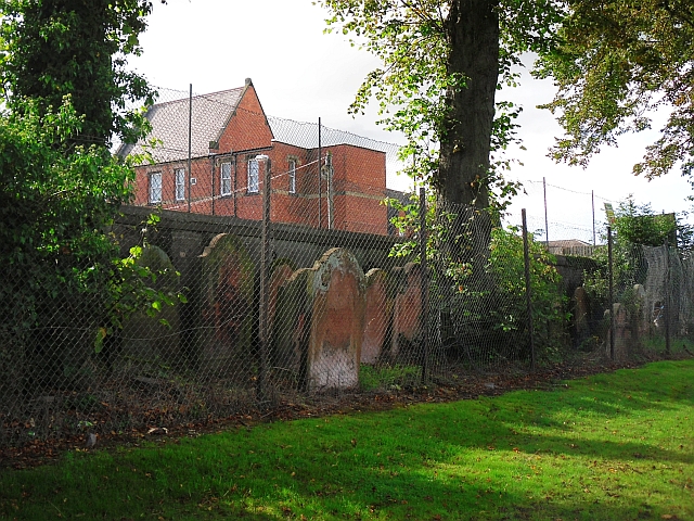
Image: © Rose and Trev Clough Taken: 8 Sep 2011
There are quite a number of headstones, fenced off along the wall. For location, see Image . Burials in the churchyard ceased more than 100 years ago, it was laid out as open space around 1930 (Cumberland News http://www.cumberlandnews.co.uk/news/plaque-will-mark-site-of-former-carlisle-church-1.860881?referrerPath=home/2.3080 ). The site is now a park with sports and play facilities. The building behind the wall is Caldew Lea Primary School.
Images are licensed for reuse under creativecommons.org/licenses/by-sa/2.0
Image Location
Latitude
54.893304
Longitude
-2.950248