2011 : South from Folly Lane
Introduction
The photograph on this page of 2011 : South from Folly Lane by Maurice Pullin as part of the Geograph project.
The Geograph project started in 2005 with the aim of publishing, organising and preserving representative images for every square kilometre of Great Britain, Ireland and the Isle of Man.

There are currently over 7.5m images from over 14,400 individuals and you can help contribute to the project by visiting https://www.geograph.org.uk
2011 : South from Folly Lane
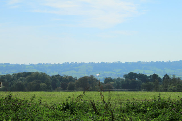
Image: © Maurice Pullin Taken: 1 Oct 2011
On Stoodly Hill. Perridge Hill and Upper Westholme lost in the woods on the other side of the field are in the same grid square. Pennard Hill in the distance is also shrouded this time in a heat haze.
Images are licensed for reuse under creativecommons.org/licenses/by-sa/2.0
Image Location
Latitude
51.172983
Longitude
-2.602867