16th century map of Plymouth Mural, Drake Circus Plymouth
Introduction
The photograph on this page of 16th century map of Plymouth Mural, Drake Circus Plymouth by Tom Jolliffe as part of the Geograph project.
The Geograph project started in 2005 with the aim of publishing, organising and preserving representative images for every square kilometre of Great Britain, Ireland and the Isle of Man.

There are currently over 7.5m images from over 14,400 individuals and you can help contribute to the project by visiting https://www.geograph.org.uk
16th century map of Plymouth Mural, Drake Circus Plymouth
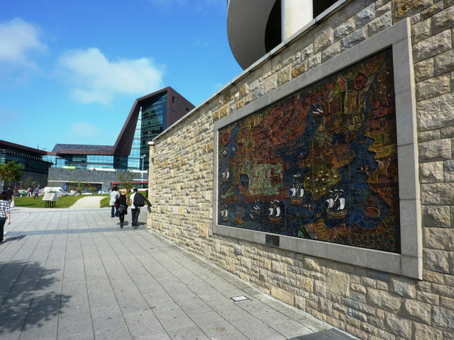
Image: © Tom Jolliffe Taken: 27 Sep 2011
The original Drake Circus shopping centre was opened in 1971 and this mural of an early map was commissioned. The mural was renovated and remounted for the new Drake Circus Shopping Centre, completed in 2006 before the economic crash of 2008.
Images are licensed for reuse under creativecommons.org/licenses/by-sa/2.0
Image Location
Latitude
50.37171
Longitude
-4.138404