Rushall Library and War Memorial
Introduction
The photograph on this page of Rushall Library and War Memorial by John M as part of the Geograph project.
The Geograph project started in 2005 with the aim of publishing, organising and preserving representative images for every square kilometre of Great Britain, Ireland and the Isle of Man.

There are currently over 7.5m images from over 14,400 individuals and you can help contribute to the project by visiting https://www.geograph.org.uk
Rushall Library and War Memorial
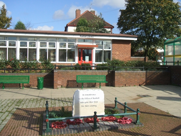
Image: © John M Taken: 21 Oct 2006
A small parish on the Walsall to Lichfield road. Its main industry was the mining of coal and limestone.
Images are licensed for reuse under creativecommons.org/licenses/by-sa/2.0
Image Location
Latitude
52.607675
Longitude
-1.961563