2011 : North east over meadow woods and valley
Introduction
The photograph on this page of 2011 : North east over meadow woods and valley by Maurice Pullin as part of the Geograph project.
The Geograph project started in 2005 with the aim of publishing, organising and preserving representative images for every square kilometre of Great Britain, Ireland and the Isle of Man.

There are currently over 7.5m images from over 14,400 individuals and you can help contribute to the project by visiting https://www.geograph.org.uk
2011 : North east over meadow woods and valley
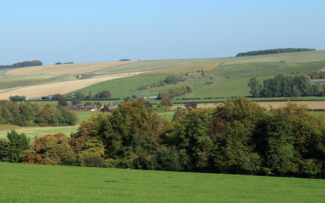
Image: © Maurice Pullin Taken: 30 Sep 2011
To Manor Farm. Chitterne Road shows behind as a line of hedgerows, Codford Hill rises beyond that.
Images are licensed for reuse under creativecommons.org/licenses/by-sa/2.0
Image Location
Latitude
51.170119
Longitude
-2.055017