Crackley Hill
Introduction
The photograph on this page of Crackley Hill by E Gammie as part of the Geograph project.
The Geograph project started in 2005 with the aim of publishing, organising and preserving representative images for every square kilometre of Great Britain, Ireland and the Isle of Man.

There are currently over 7.5m images from over 14,400 individuals and you can help contribute to the project by visiting https://www.geograph.org.uk
Crackley Hill
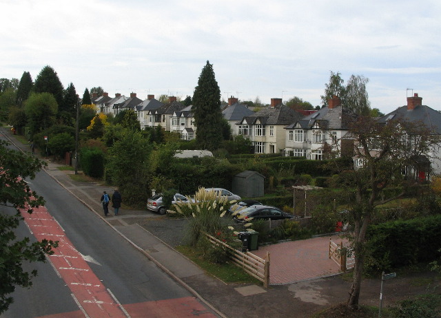
Image: © E Gammie Taken: 9 Oct 2011
The semi-detached houses on Coventry Road (A429) date from about the 1930s and are typical of the linear development that took place along main roads at the outskirts of towns at that time.
Images are licensed for reuse under creativecommons.org/licenses/by-sa/2.0
Image Location
Latitude
52.358584
Longitude
-1.566345