View towards Chipton
Introduction
The photograph on this page of View towards Chipton by Robin Stott as part of the Geograph project.
The Geograph project started in 2005 with the aim of publishing, organising and preserving representative images for every square kilometre of Great Britain, Ireland and the Isle of Man.

There are currently over 7.5m images from over 14,400 individuals and you can help contribute to the project by visiting https://www.geograph.org.uk
View towards Chipton
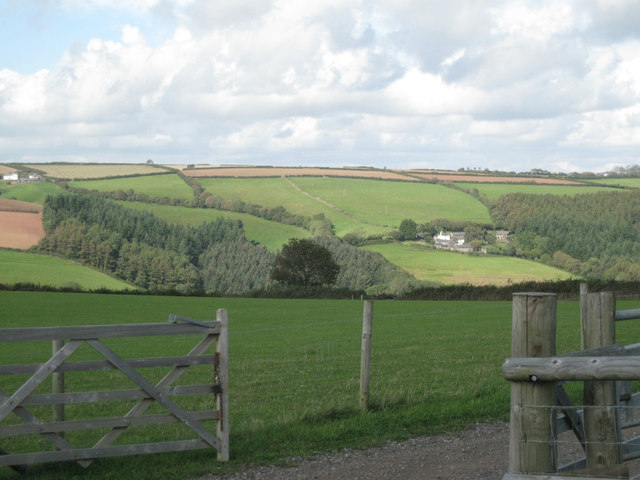
Image: © Robin Stott Taken: 16 Sep 2011
This view from near the corner of Norton Park provides a connection between the views in Image, left, and Image, right. The track in the foreground, also seen in Image, appears to be a new access to Lower Norton Farm. High on the hillside, left, is Bruckton in SX8452.
Images are licensed for reuse under creativecommons.org/licenses/by-sa/2.0
Image Location
Latitude
50.360239
Longitude
-3.6181