Millfields Road Lights
Introduction
The photograph on this page of Millfields Road Lights by Gordon Griffiths as part of the Geograph project.
The Geograph project started in 2005 with the aim of publishing, organising and preserving representative images for every square kilometre of Great Britain, Ireland and the Isle of Man.

There are currently over 7.5m images from over 14,400 individuals and you can help contribute to the project by visiting https://www.geograph.org.uk
Millfields Road Lights
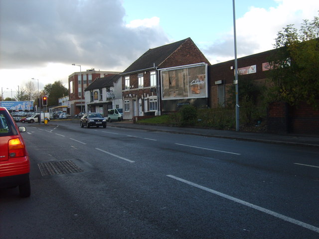
Image: © Gordon Griffiths Taken: 7 Oct 2011
The view of the crossroads with Ettingshall Road. The closed Bulls Head Pub is still standing on the corner.
Images are licensed for reuse under creativecommons.org/licenses/by-sa/2.0
Image Location
Latitude
52.566195
Longitude
-2.101309