Sgiogarstaigh
Introduction
The photograph on this page of Sgiogarstaigh by Colin Smith as part of the Geograph project.
The Geograph project started in 2005 with the aim of publishing, organising and preserving representative images for every square kilometre of Great Britain, Ireland and the Isle of Man.

There are currently over 7.5m images from over 14,400 individuals and you can help contribute to the project by visiting https://www.geograph.org.uk
Sgiogarstaigh
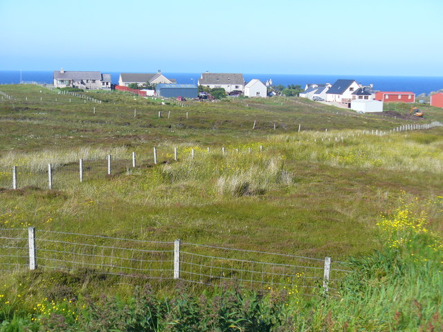
Image: © Colin Smith Taken: 26 Jul 2011
Crofts and grassy strip fields close to Port Ness on the Butt of Lewis.
Images are licensed for reuse under creativecommons.org/licenses/by-sa/2.0
Image Location


Leaflet Map data © OpenStreetMap
Latitude
58.471877
Longitude
-6.212486