Marshalswick Lane
Introduction
The photograph on this page of Marshalswick Lane by Ian Capper as part of the Geograph project.
The Geograph project started in 2005 with the aim of publishing, organising and preserving representative images for every square kilometre of Great Britain, Ireland and the Isle of Man.

There are currently over 7.5m images from over 14,400 individuals and you can help contribute to the project by visiting https://www.geograph.org.uk
Marshalswick Lane
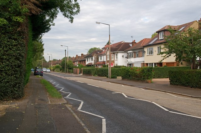
Image: © Ian Capper Taken: 16 Sep 2011
The route of Marshalswick Lane is shown on 19th century maps, but development didn't take place until the 1930s. It now forms part of what is in effect an outer ring road for St Albans, comprising Drakes Drive, Ashley Road, Beechwood Avenue, Marshalswick Lane, Beech Road and Batchwood Drive.
Images are licensed for reuse under creativecommons.org/licenses/by-sa/2.0
Image Location
Latitude
51.766725
Longitude
-0.315271