Front Street, Sedgefield
Introduction
The photograph on this page of Front Street, Sedgefield by Andrew Curtis as part of the Geograph project.
The Geograph project started in 2005 with the aim of publishing, organising and preserving representative images for every square kilometre of Great Britain, Ireland and the Isle of Man.

There are currently over 7.5m images from over 14,400 individuals and you can help contribute to the project by visiting https://www.geograph.org.uk
Front Street, Sedgefield
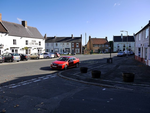
Image: © Andrew Curtis Taken: 7 Oct 2011
Photo take from the junction of Front Street with Cross Street, looking east towards the junction with East End where it becomes Stockton Road. This road was part of the Durham turnpike http://www.sedgefield.net/hertrail/tollgate.html The Dun Cow Inn Image] can be seen on the left and the Golden Lion across the road on the right Image]
Images are licensed for reuse under creativecommons.org/licenses/by-sa/2.0
Image Location
Latitude
54.653394
Longitude
-1.446654