Church Path N12
Introduction
The photograph on this page of Church Path N12 by Martin Addison as part of the Geograph project.
The Geograph project started in 2005 with the aim of publishing, organising and preserving representative images for every square kilometre of Great Britain, Ireland and the Isle of Man.

There are currently over 7.5m images from over 14,400 individuals and you can help contribute to the project by visiting https://www.geograph.org.uk
Church Path N12
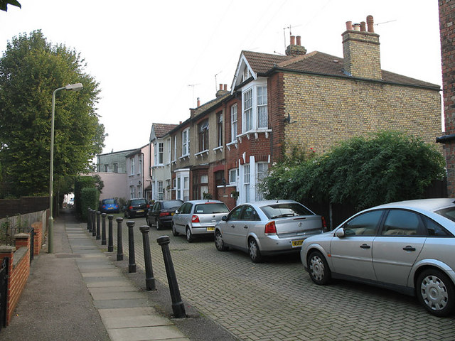
Image: © Martin Addison Taken: 16 Oct 2006
Terraced houses on Church Path by the junction with Percy Road. Beyond can be seen the alleyway section of Church Path leading onto Lodge Lane. The Building beyond the Pink house is industrial.
Images are licensed for reuse under creativecommons.org/licenses/by-sa/2.0
Image Location
Latitude
51.615434
Longitude
-0.18155