Closed underpass under the M6
Introduction
The photograph on this page of Closed underpass under the M6 by Oliver Dixon as part of the Geograph project.
The Geograph project started in 2005 with the aim of publishing, organising and preserving representative images for every square kilometre of Great Britain, Ireland and the Isle of Man.

There are currently over 7.5m images from over 14,400 individuals and you can help contribute to the project by visiting https://www.geograph.org.uk
Closed underpass under the M6
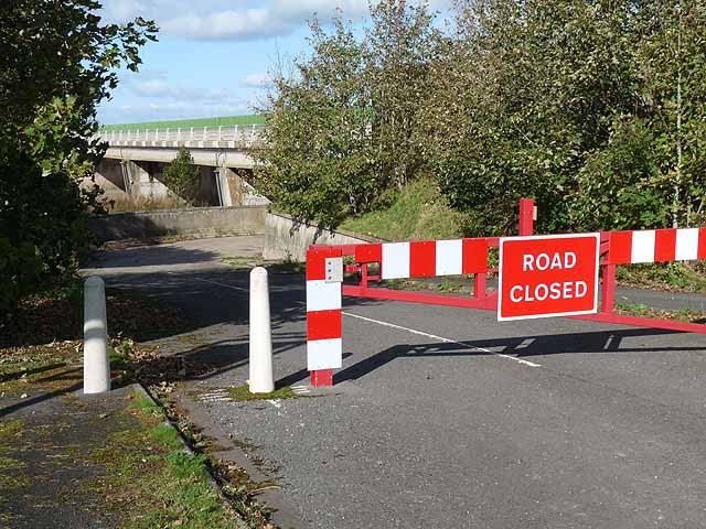
Image: © Oliver Dixon Taken: 7 Oct 2011
Previously Metal Bridge Inn and the adjoining houses were accessed directly from the northbound carriageway of the A74 and an underpass under the road next to the River Esk also gave access to the southbound carriageway. With the conversion of the main road to motorway, access to Metal Bridge is by the new all-purpose road alongside, and the underpass is redundant and closed at the eastern end.
Images are licensed for reuse under creativecommons.org/licenses/by-sa/2.0
Image Location
Latitude
54.973894
Longitude
-3.008549