Cawsand from Pier Lane
Introduction
The photograph on this page of Cawsand from Pier Lane by Derek Harper as part of the Geograph project.
The Geograph project started in 2005 with the aim of publishing, organising and preserving representative images for every square kilometre of Great Britain, Ireland and the Isle of Man.

There are currently over 7.5m images from over 14,400 individuals and you can help contribute to the project by visiting https://www.geograph.org.uk
Cawsand from Pier Lane
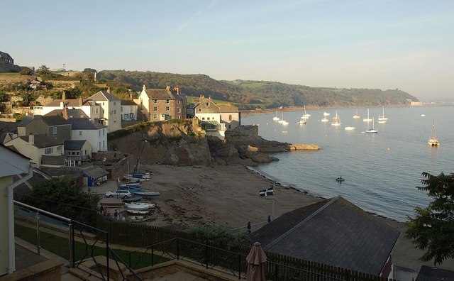
Image: © Derek Harper Taken: 1 Oct 2011
A view from the coast path entering Cawsand from the southeast, looking across the beach to houses on Garrett Street. The boats moored in the evening sunlight are off Kingsand.
Images are licensed for reuse under creativecommons.org/licenses/by-sa/2.0
Image Location
Latitude
50.330864
Longitude
-4.201627